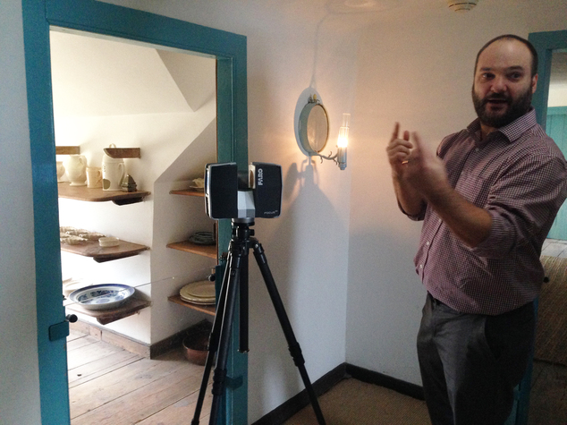
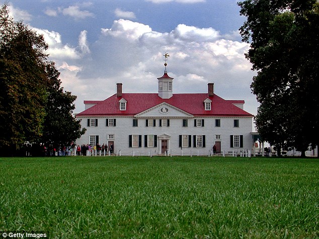
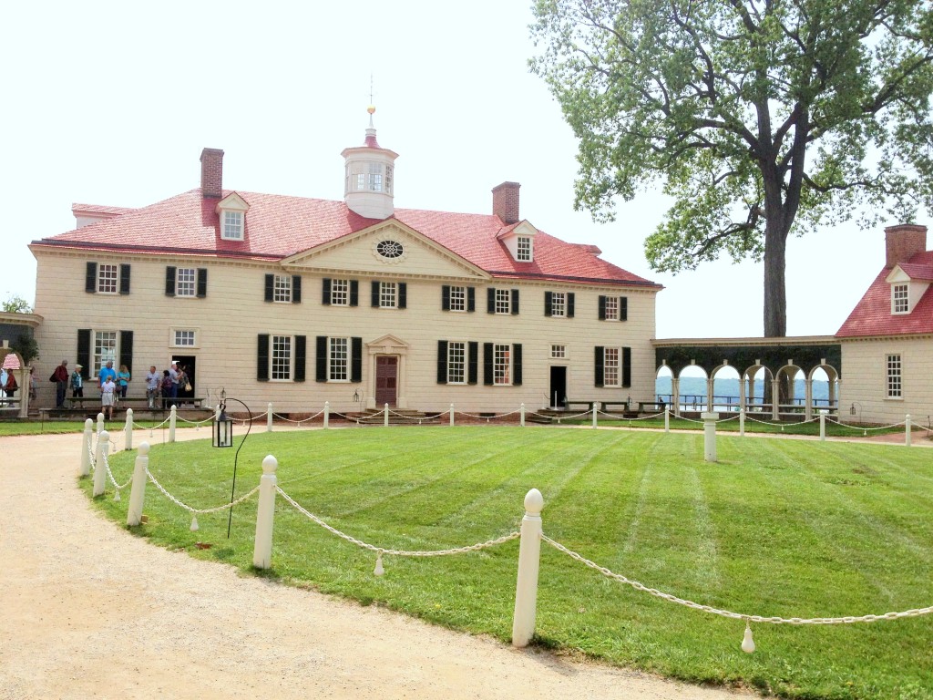
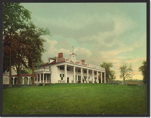
February 16, 2015 – Architects and preservationists are using laser technology to map every inch of George Washington’s Mount Vernon. The laser scans record 3D images down to the smallest detail, even nails, and will help determine what is original and what has been replaced over the years. The scans will be combined with written records of work done on the estate, some in Washington’s own hand. The computer database will be an invaluable tool to guide future restoration work.
Link: NYTimes
Additional Photos

(click thumbnails to enlarge)
[divider]